TRASD Launch Site Location
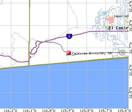
 From San Diego take Interstate 8 to the Calexico exit at Highway 98. Travel
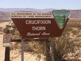
9 miles to Coyote Road #2. The Crucifixion Thorn Natural Area (GPS: 32 40.28N 115 53.27W)
is right on
the corner of Highway 98 and Coyote Road #2. Coyote Road #2 is a maintained
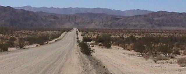
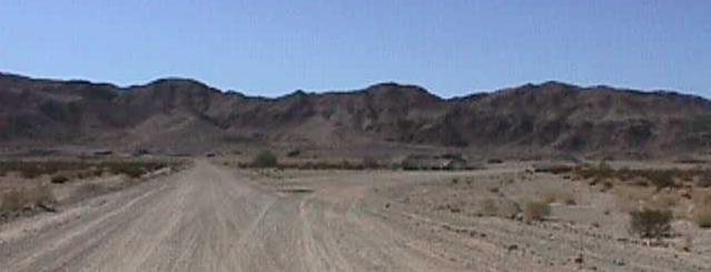
gravel road headed west towards the mountains. Travel 2 miles to where the
road splits. The launch site (GPS: 32 39.80N 115 54.55W) is the road bearing right
at the split and begins at the split and extends half way to the quarry. The
roads dead end at the quary about 1/2 mile from the split.
UPDATE: The road has been asphalted!
From San Diego take Interstate 8 to the Calexico exit at Highway 98. Travel
9 miles to Coyote Road #2. The Crucifixion Thorn Natural Area (GPS: 32 40.28N 115 53.27W)
is right on
the corner of Highway 98 and Coyote Road #2. Coyote Road #2 is a maintained
gravel road headed west towards the mountains. Travel 2 miles to where the
road splits. The launch site (GPS: 32 39.80N 115 54.55W) is the road bearing right
at the split and begins at the split and extends half way to the quarry. The
roads dead end at the quary about 1/2 mile from the split.
UPDATE: The road has been asphalted!
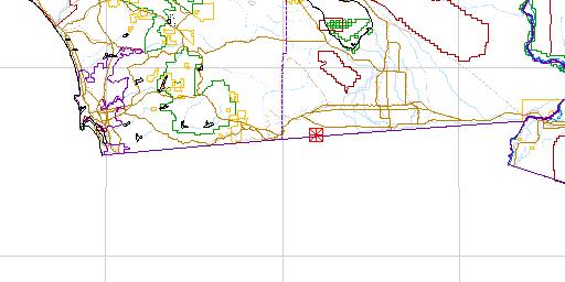
Wide Area Map
Local Area Map
Site Area Map
I am still waiting on someone to submit an aerial photograph which
clearly depicts the eight square miles of the launch site!
